Good to Great – The Flywheel Effect
In his new classic book ‘Good to Great’, Jim Collins introduced the Flywheel Effect – how incremental, accumulative improvements makes a company great. It’s often easy to forget about this – to look at the big shiny things you can do to improve your work and focus on these. Then we have the seemingly small changes that makes a world of difference. Under this heading you’ll find two new features in Landmark – the Plant styles improvements and the Existing tree group import.
Vectorworks has used plant styles for a long time – every species is a style and consists of three components – 2D and 3D geometry and data (parametric and botanical data for the species). The new setup though, is more in-line with the style-concept for the rest of the software. You’ll find the familiar buttons for specifying if a data piece is locked to the style setting or if you can change it by instance – some information is constant while you often change things like size or form. This will lead to a more personal workflow in how style changes are affecting already placed plants in a document – you can decide how they should react to suit you, depending on how you set up the plants in your library.
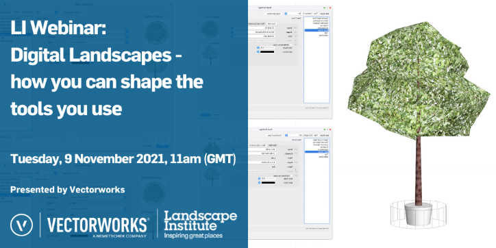
The biggest change, however, is that you can now apply a 2D and 3D representation of both root ball and excavation pit for each plant, and of course also get the volumes calculated. The root ball comes in a selection of sizes but is fully adjustable to fit everything from the smallest whip to the biggest Air-Pot.
Existing Tree imports of groups. This is the result of a question from one of our clients, FPCR. They asked if it was possible to import hedges according to the centre line, and groups of trees where surveying was not possible on an individual tree basis. Landmark has long had the ability to import a csv file with all the BS 5837 required data and automatically create 2D/3D trees from it at the correct N/E coordinate points. However, from Landmark 2022 you can also import groups of trees and hedges based on their lat/long coordinates and get them represented by a simple polygon in your drawings while keeping the data connected to the group. This ability opens up the import of other survey data – it doesn’t have to be trees. Any habitat survey data is now easily transferred into Vectorworks, and you can keep track of it through your design workflow.
Give these new features a try and let us know what you think – it’s from feedback we know how to set up our roadmap for development. If you’re interested in what we’re working on, go in to https://www.vectorworks.net/en-US/public-roadmap and see what’s on the horizon. Leve your comments and let us know where you think we should put in the effort.
Click here to watch the Digital Landscapes webinar.

