- Catch-Up
5 Oct 2023
Online
paid
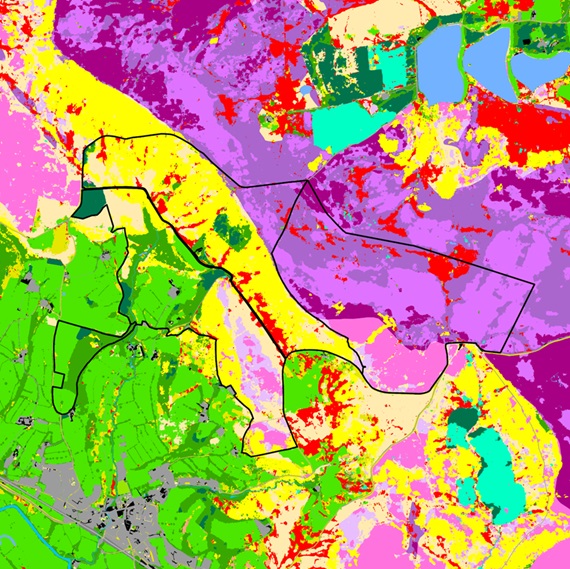
LI Webinar: Geographical Information Systems (GIS) Mapping
Many of the current principles of Geographical Information Systems (GIS) were devised by Ian McHarg, a landscape architect. They have countless applications within environmental projects – from visual assessments, site analysis and design development to maintenance. Join this webinar to gain insight into how open-source GIS applications can assist with the process of a Biodiversity Net Gain (BNG) assessment, in what way Natural England and LUC will be using GIS to present the data, and how landscapes are both presented and interpreted from digital representations.
“Refreshing approach, inclusive, interactive and conversational rather than a stuffy formal presentation. I also like that Steven allowed the participants to drive the direction of the training to where they would find it most relevant rather than enforcing a structure” – past attendee
Browse more Events

30 Jun 2026
Online
What does spatial planning mean for major infrastructure & place responses
1 video

Access all recordings, excluding premium content on Campus for 12 months
LI Campus sponsored by